Overview
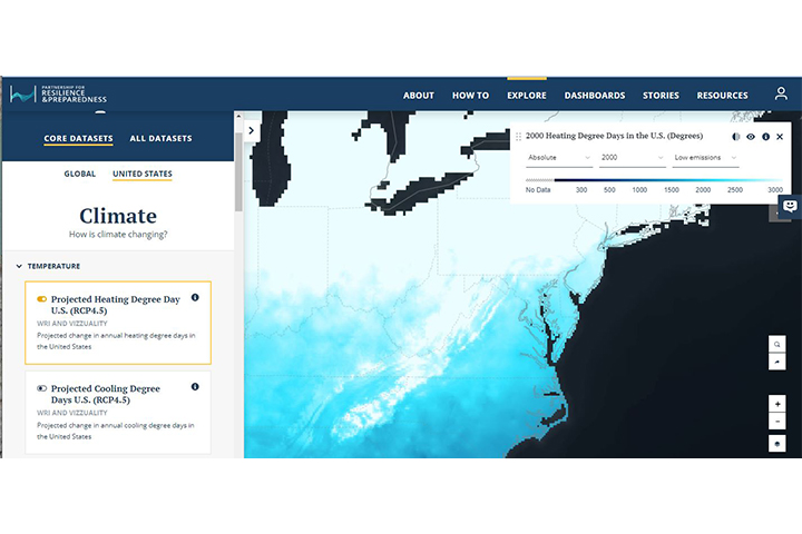
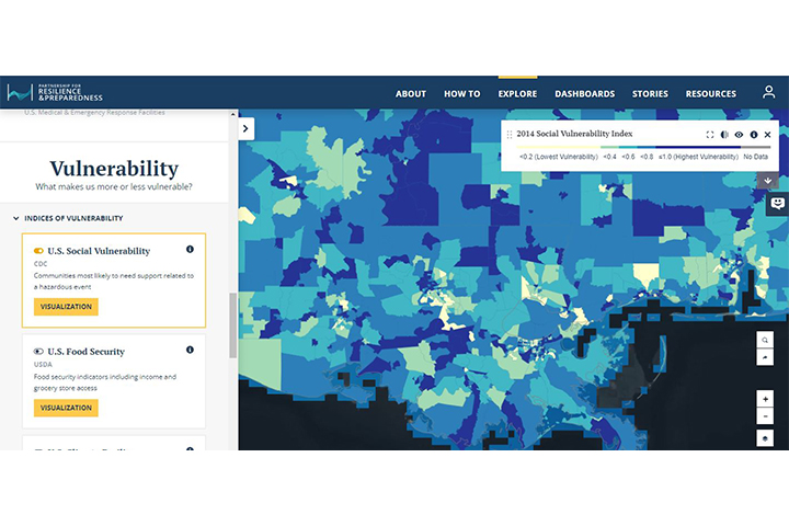
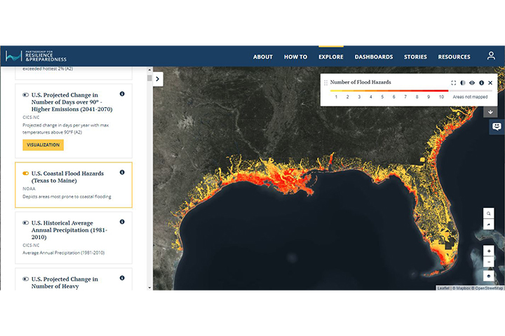
PREPdata, created by the Partnership for Resilience and Preparedness Data, is a map-based, open data online platform that allows users to access and visualize spatial data reflecting past and future climate, as well as the physical and socioeconomic landscape for climate adaptation and resilience planning.
Features
- Access and visualize spatial climate data
- Customize and share results
- Filter by topic, geography, and time period


