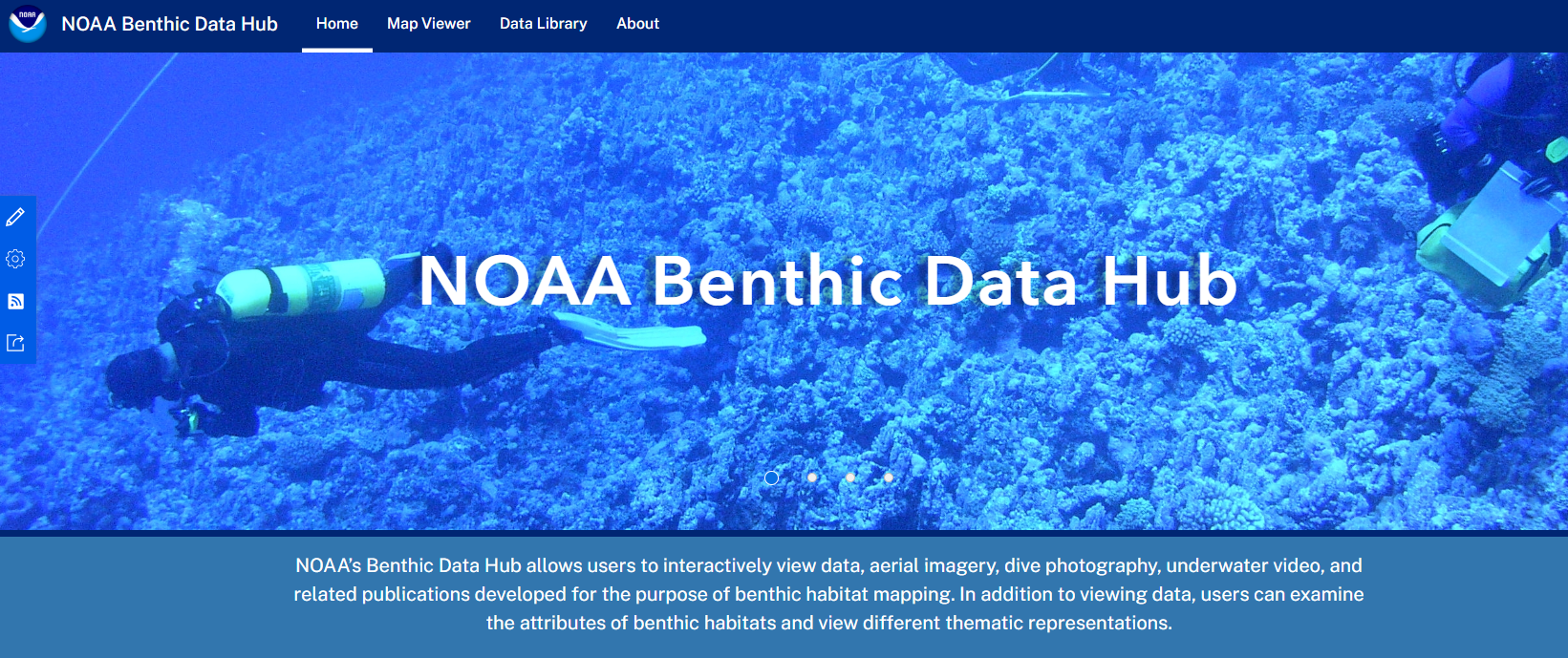
Overview
This tool allows users to view and interact with data, aerial imagery, dive photography, underwater video, and related publications developed for benthic habitat mapping. Users can also examine the attributes of benthic habitats and view different thematic representations. Links are provided to download data and metadata.
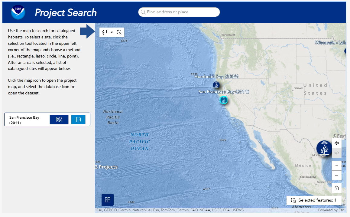
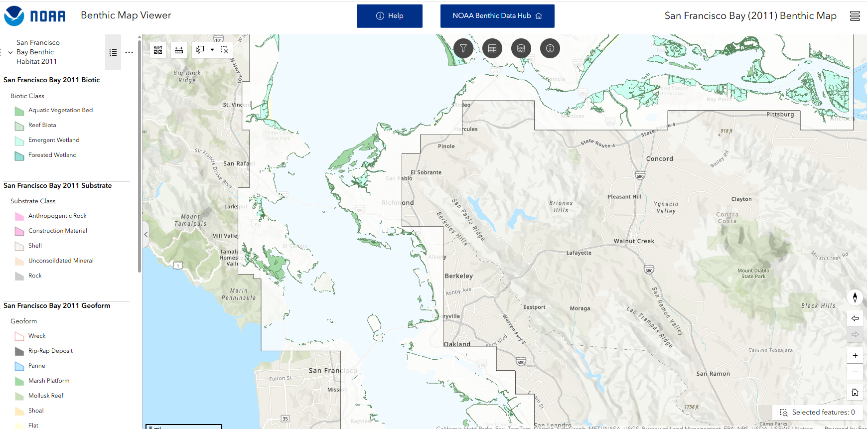
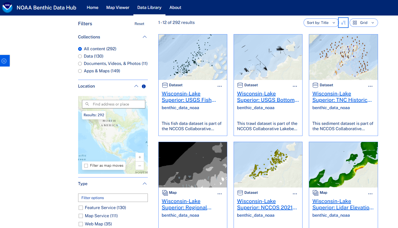
Features
- Browse projects or search by area of interest
- Query by data type, keyword, or organization
- Highlights Coastal and Marine Ecological Classification Standard (CMECS) classified data
- Serves as an enterprise location for NOAA and others’ benthic data
Additional Information
Tool Screenshots