Overview
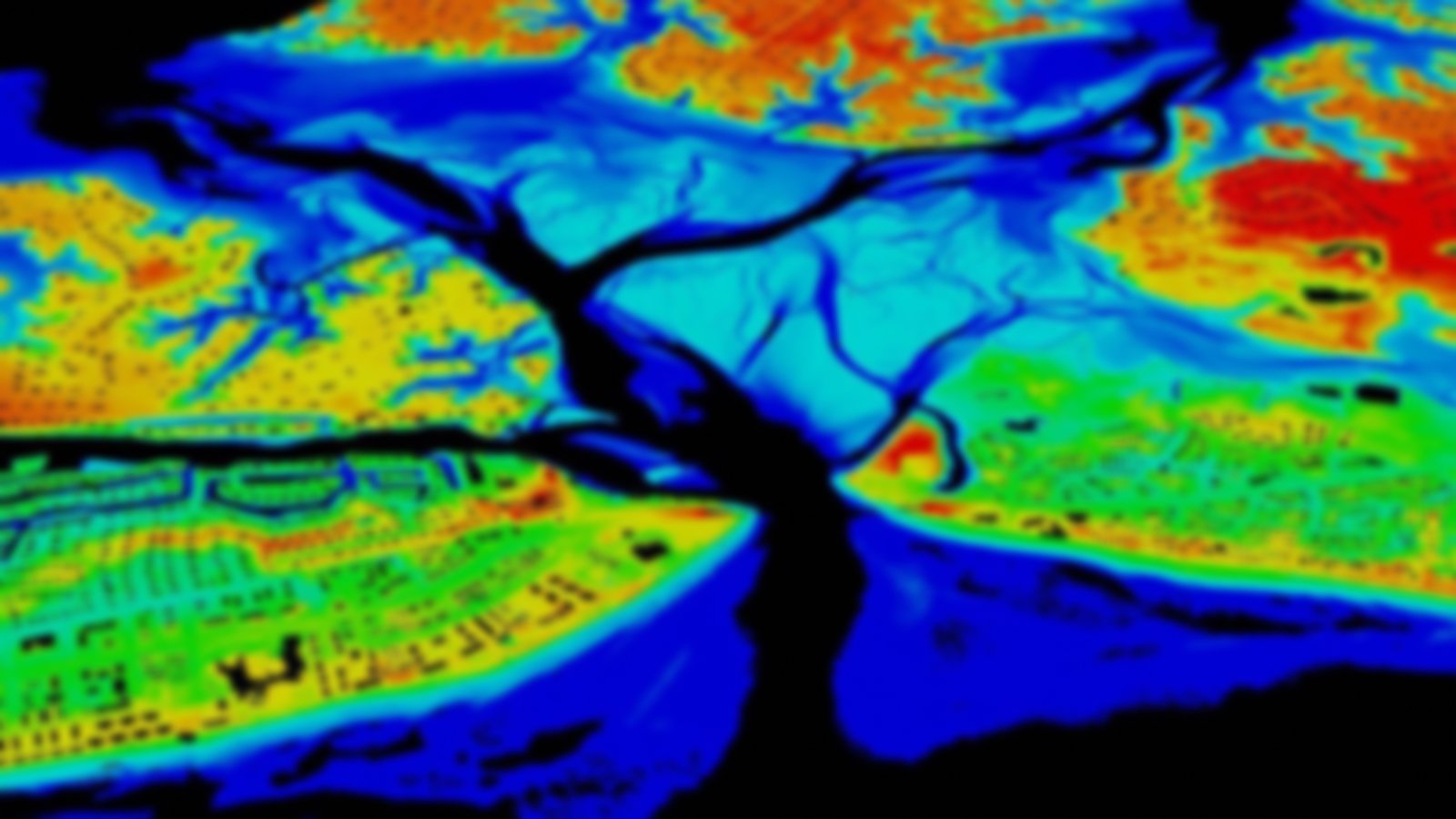
This comprehensive, nationwide listing of high-accuracy topographic data (including lidar and IfSAR) and bathymetric data (including multibeam data and NOAA hydrographic surveys) is updated semiannually and includes information on vertical accuracy, point spacing, and date of collection. Inventory maintenance is shared among NOAA, U.S. Geological Survey, Federal Emergency Management Agency, U.S. Army Corps of Engineers, U.S. Department of Agriculture - Natural Resources Conservation Service, U.S. Forest Service, and National Park Service.
Featured Resources
- 3DEP Home Page — The 3D Elevation Program uses these data to determine progress in covering the nation.
- GeoZone Blog — Blog posts about elevation data..
